Off the Grid, On the Page: The Secret Mapmakers Charting What GPS Refuses to See
Open Google Maps and you can find virtually anything. Your coffee shop, the nearest urgent care, the exact dimensions of your neighbor's backyard if you zoom in long enough. The modern mapping apparatus is staggering in its scope — satellites, street-level cameras, algorithmic updates running around the clock.
And yet there are entire worlds it doesn't see.
The neighborhood that was demolished for a highway in 1962. The defunct streetcar lines that once stitched together a mid-sized Ohio city. The hidden maintenance corridors beneath a famous public park. The creek that got buried in a culvert and technically still runs under a strip mall in suburban Maryland, completely invisible to anyone who hasn't gone looking.
For a scattered, passionate, and wonderfully obsessive community of amateur cartographers, these invisible geographies are the whole point.
Mapping What's Already Gone
The people doing this work don't have a single name for what they do. Some call themselves urban historians. Some prefer "psychogeographers," borrowing a term from the French Situationists who believed that physical space shapes consciousness in ways we rarely acknowledge. A lot of them just call themselves map nerds and leave it at that.
What they share is a conviction that official maps — the ones maintained by governments, corporations, and navigation apps — tell a very particular and incomplete story about a place. They show what exists now, as infrastructure. They almost never show what existed before, what was erased, what got paved over or filled in or quietly forgotten when the money moved somewhere else.
"A map is always an argument," says one practitioner in Detroit who has spent the last six years reconstructing the city's pre-1950 streetcar network by hand, using transit authority archives, old newspaper photographs, and the occasional visit from an elderly resident who remembers riding the lines as a child. "Every map is someone deciding what matters and what doesn't. I'm just making a different argument."
His finished maps — hand-inked on large-format paper, meticulously cross-referenced — have never been formally published. They live in a flat file in his spare bedroom, occasionally photographed for a modest but devoted online following.
The Tools of the Obsessive
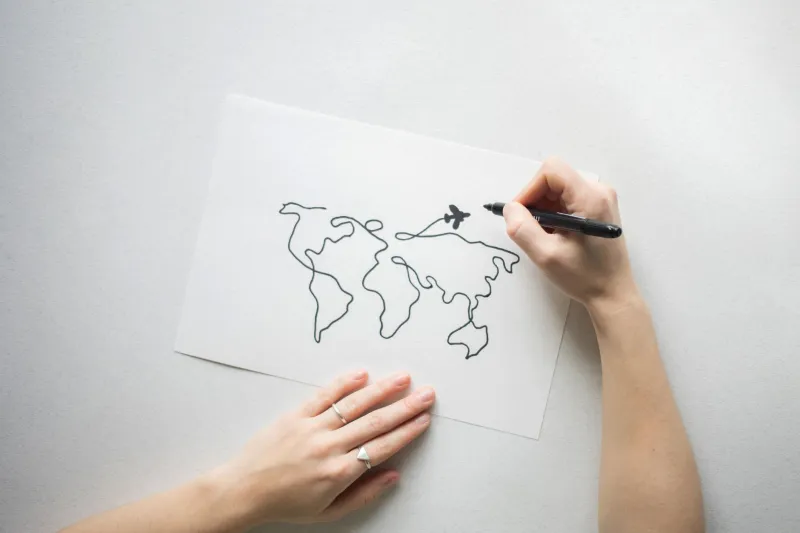
The technical range within this community is wide. Some practitioners work almost entirely by hand, using traditional cartographic instruments — ruling pens, French curves, Rapidograph technical pens — to produce maps that are genuinely beautiful objects, as much art as document. Others use digital tools like QGIS or Adobe Illustrator to build layered, interactive maps that can display historical data over modern satellite imagery.
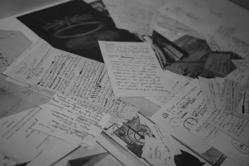
What they almost all share is an archival obsession. The research phase of a serious amateur mapping project can take years. Primary sources include:
- Sanborn fire insurance maps, which documented building materials and layouts in American cities from the 1860s through the mid-20th century with extraordinary precision
- Historic USGS topographic surveys, which often show natural features that have since been altered or buried
- Local newspaper archives, particularly real estate sections and infrastructure reporting
- Municipal records, including old sewer and utility maps that sometimes reveal infrastructure nobody has thought about in decades
- Oral history, gathered from long-term residents whose memory of a place predates its current form
One mapper in New Orleans has been documenting the city's historical relationship with water for nearly a decade — tracking how the original bayou network was progressively filled and redirected, how neighborhoods that now seem stable were once regularly flooded, and how the current drainage system relates (often poorly) to the natural hydrology underneath it. Her work has been cited by urban planners, though she operates entirely outside any official institution.
Accuracy as a Form of Respect
Ask these mapmakers why precision matters so much — why they'll spend three weeks confirming the exact route of a trolley line that stopped running before anyone alive can remember riding it — and you get answers that are almost philosophical.
"Because the people who lived there deserved to be remembered accurately," says a cartographer in Philadelphia who specializes in mapping Black neighborhoods demolished during urban renewal projects of the 1950s and 60s. "If I get the street wrong, I'm just adding another layer of erasure."
That moral weight is real, and it distinguishes the serious practitioners from casual hobbyists. These aren't people making decorative maps because they look nice on a wall. They're making arguments about what happened, to whom, and where — and they believe the geographic specificity is part of the argument's integrity.
The community, such as it is, connects primarily through online forums, Discord servers, and a handful of in-person events that feel somewhere between academic conference and enthusiast meetup. There are no formal credentials, no certifying body, no career track. You are a basement cartographer because you decided to be one, and you stay one because the work keeps pulling you back.
The Maps Nobody Asked For (And Everyone Wants)
Here's the twist: the audience for this work is bigger than you'd expect.
When a well-researched amateur map of a city's lost neighborhoods surfaces online, it tends to travel. Local historians share it. Journalists cite it. Residents who grew up in the mapped areas send long, emotional messages about seeing their grandmother's block rendered in careful ink for the first time in their lives.
A mapper in Chicago who documented the city's buried river systems — the original courses of the Chicago and Des Plaines rivers before 19th-century engineering redirected them — found her work picked up by a major architecture publication after she posted it to a niche urban history forum. She hadn't told anyone she was working on it. She'd been doing it for herself.
"I think people are hungry for this," she says. "Everyone can feel that the official version of a place is incomplete. They just don't always know what's missing."
The basement cartographers do. And they're drawing it anyway, one careful line at a time, for an audience that didn't know it needed them until it saw what they'd made.